
Route Description
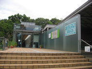
Yagawa St.→Hake-ue (top of the cliff) Road→Aoyagi railroad crossing→Yagawa Ryokuchi green area→Yagawa Ikoi-no-hiroba Park→Statue of Gochi Nyorai→Shiken-zaike Park→Spring water from Mama-shita (the bottom of the cliff)→Yagawa River Ondashi→Nanyo-ji Temple main gate→JA (Japan Agricultural Cooperatives)→Yagawa St.
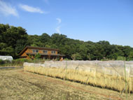
A course starting from Yagawa Ryokuchi green area where spring water flows along the bottom of Tachikawa Cliff Line (Hake), walk along the Yagawa River and spring water from Mama-shita (the bottom of the cliff) of the Aoyagi Cliff Line, toward Ondashi where the Yagawa River and Shimizu River flow into the Fuchu irrigation channel.
* These are estimates given for a person, weight 60kg, moving at 4km per hour, walking 10 min.=30kcal, one step=70cm.
(1.27MB)
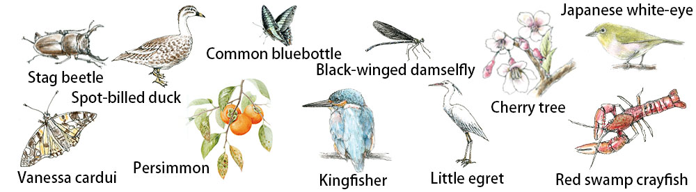
Creatures and plants who meet during walking
* Some details in the PDF walking map may differ from Google Map.
* Contact regarding the PDF walking map offered on this website.
[Health Center, Kunitachi City Health Promotion Division TEL: 042-572-6111]