Route Description
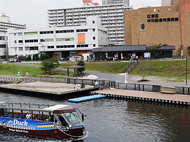
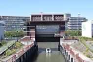
Higashi-ojima Sta. (Ojima Exit)→Nakagawa Funabansho Museum Kyunakagawa River / Kawa no Eki→Sakura-Ohashi Bridge→Kameido Sengen Shrine→Fureai Bridge→Kameido Chuo Park→Kameidosuijin Sta.
This is a course where you can re-recognize that Koto City is a place of lush greenery. You can enjoy various seasonal flowers.
* These are estimates given for a person, weight 60kg, moving at 4km per hour, walking 10 min.=30kcal, one step=70cm.
(10.2MB)
*These courses are listed on P. 17 and 18 of the PDF Walking Map.
* Some details in the PDF walking map may differ from Google Map.
* Contact regarding the PDF walking map offered on this website.
[Koto City Public Health Center, Health Promotion Division TEL 03-3647-5889]