Route Description
Daisan Bunka (culture) Center→Spot where you can see Mt. Fuji ①→Sugiyama-jinja Shrine→Spot where you can see Mt. Fuji ②→Observation platform→Hirao Kinrin Park→Daisan Bunka (culture) Center
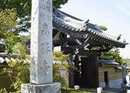
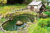
Hirao Course includes not only Inagi City but also the partially adjacent Kawasaki City. A nostalgic landscape of plum groves, bamboo forests, etc. still remains. On the route, there is a spot where on a sunny day, you can see Mt. Fuji, which has been registered as a World Heritage site. This is a recommended course for a sunny day in the fresh winter air.
* These are estimates given for a person, weight 60kg, moving at 4km per hour, walking 10 min.=30kcal, one step=70cm.
Besides, the time allowed is the actual time when we walked the course.
(1.23MB)
* Some details in the PDF walking map may differ from Google Map.
* Contact regarding the PDF walking map offered on this website.
[Inagi City Citizen Department Sports Promotion Section TEL 042-378-2111]